Carteret, NJ
Roofing in Carteret, NJ: Tidal Creeks and 1950s Houses
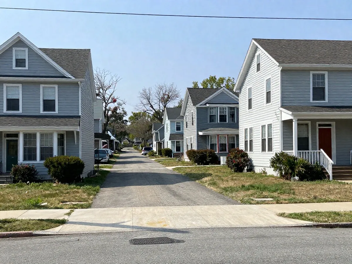
Carteret's biggest housing decade is the 1950s: 2,371 of its 8,741 homes, about 27 percent, are from that stretch, and 4,344 predate 1960 altogether. One in five homes (1,750) is in a two-unit building. The borough sits between the Rahway River and the Arthur Kill, so wind-driven rain is part of the picture; storm damage repair is a common starting point. Call (732) 487-3991 with the address.
Questions that come up in Carteret
Which office handles building paperwork in Carteret?
The Building, Construction & Land Use Department at the Memorial Municipal Building, 61 Cooke Avenue. It lists 732-541-3819 or 732-541-3926, inspection scheduling at 732-541-3810, and weekday hours of 8:00 to 4:00. The page lists no fees and no roofing-specific guidance.
What kind of flooding does Carteret deal with?
A Rutgers study for the state says Carteret is vulnerable to coastal flooding from the Arthur Kill on its eastern side and inland flooding along the Rahway River to the north. It adds that local flooding comes from limited drainage in the Noes Creek watershed, which is tidal and restricts drainage at high tide.
Who can call from Carteret?
Owners and landlords of detached houses and two-family buildings. About 45 percent of Carteret's occupied homes are rented, and renters go to the landlord first, since roof work is the owner's decision. Owners, call (732) 487-3991 with the street, the roof's age if known, and a short description of the problem.
Carteret's housing, in numbers
- Housing units
- 8,741, give or take 461.
- Built before 1960
- 4,344 homes, about 50 percent.
- Built in the 1950s
- 2,371 homes, about 27 percent.
- Built since 2000
- 1,768 homes, about 20 percent.
- Median year built
- 1960, give or take 3 years.
- Detached one-unit houses
- 4,325, about 49.5 percent.
- Two-unit buildings
- 1,750 homes, 20 percent.
- Renter-occupied
- 3,727 of 8,224 occupied homes, about 45 percent.
- Land area
- 4.39 square miles.
Two waterfronts and a tidal creek
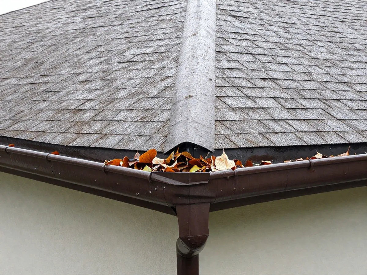
The Rutgers study sets Carteret's 100-year flood plus 2100 sea level rise at 18.5 feet on the NAVD 88 scale and proposes a floodwall with closures at the Rahway River and Noes Creek. The Middlesex County emergency office says its hazard plan was updated in 2022. September's normal at Newark is 3.82 inches, and September 2021 set that station's monthly record at 10.5. A roof that survived that month has been tested.
Ready when you are
Have the street address ready, along with what is visible from the ground and roughly how old the roof is. Renters: the landlord makes the roof decisions, so tell the landlord.